
Hanes Heolgaled Salem History
Originally part of the ancient kingdom of Deheubarth, and known as Heolgaled, or hard road - after the thieves and bandits that frequented the road in the 16th century - here we uncover the fascinating history of Salem, and its people and places.

Area Administration
The community of Manordeilo & Salem extends over a wide area that includes Capel Isaac, Cwmifor, Manordeilo, New Inn, Penybanc, Rhosmean, Salem and Taliaris.
During the Age of the Welsh Princes (from the arrival of the Normans here in c1100 to the War of the Roses in 1485) the area extended over the commodes of Cethiniog and Maenordeilo, which were part of Cantref Mawr and the ancient kingdom of Deheubarth, united around 920 by Hywel Dda (pictured left).
In the Middle ages the area became part of the parish of Llandeilo Fawr, where St Teilo founded a religious community, and a settlement grew around St Teilo’s Church, developing into the small, picturesque town of Llandeilo, now our postal town.
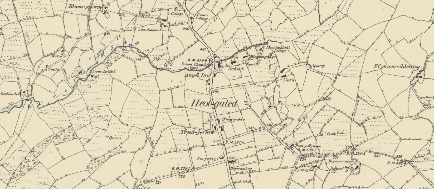
Why is Salem shown as Heolgaled on old maps?
The original name for the parish of Salem - as seen on older maps like the 1885 Ordnance Survey map pictured above is Heolgaled.
Heolgaled translates as hard or difficult road. It is thought this name derived from the fact that in the 16th century the road was a dangerous route between Talley and Llandeilo, as it was plagued by thieves.
The name Heolgaled was in use until the late 1950’s when it was changed to the biblical name of Salem.
A Drovers Road
In the 18th century Heolgaled was a collection point for drovers to pick up livestock for sale, on their journey to Llandovery and further into England.
It is thought that an Animal Fair was held here every March, and the last fair was held in 1920.


What do the Tithe Maps tell us?
Study of the village on old tithe maps (1838-1850), available online through the National Library of Wales, shows that 7 areas of land were named Heol Galed at the centre of the village, around Gors Road, at that time.
David Davies owned and occupied 3 plots, while Lloyd George occupied 4 plots owned by George Thomas. One further plot, outside the village, situated on Glanrwyth Uchaf farm, is occupied by Benjamin Williams, owned by Lewis Morgan and Walters Mary and named ‘Cae Mynydd at Heol Galed’.
We’d love to know more on the story of the original Heol Galed name - so if you’ve got any info - get in touch!


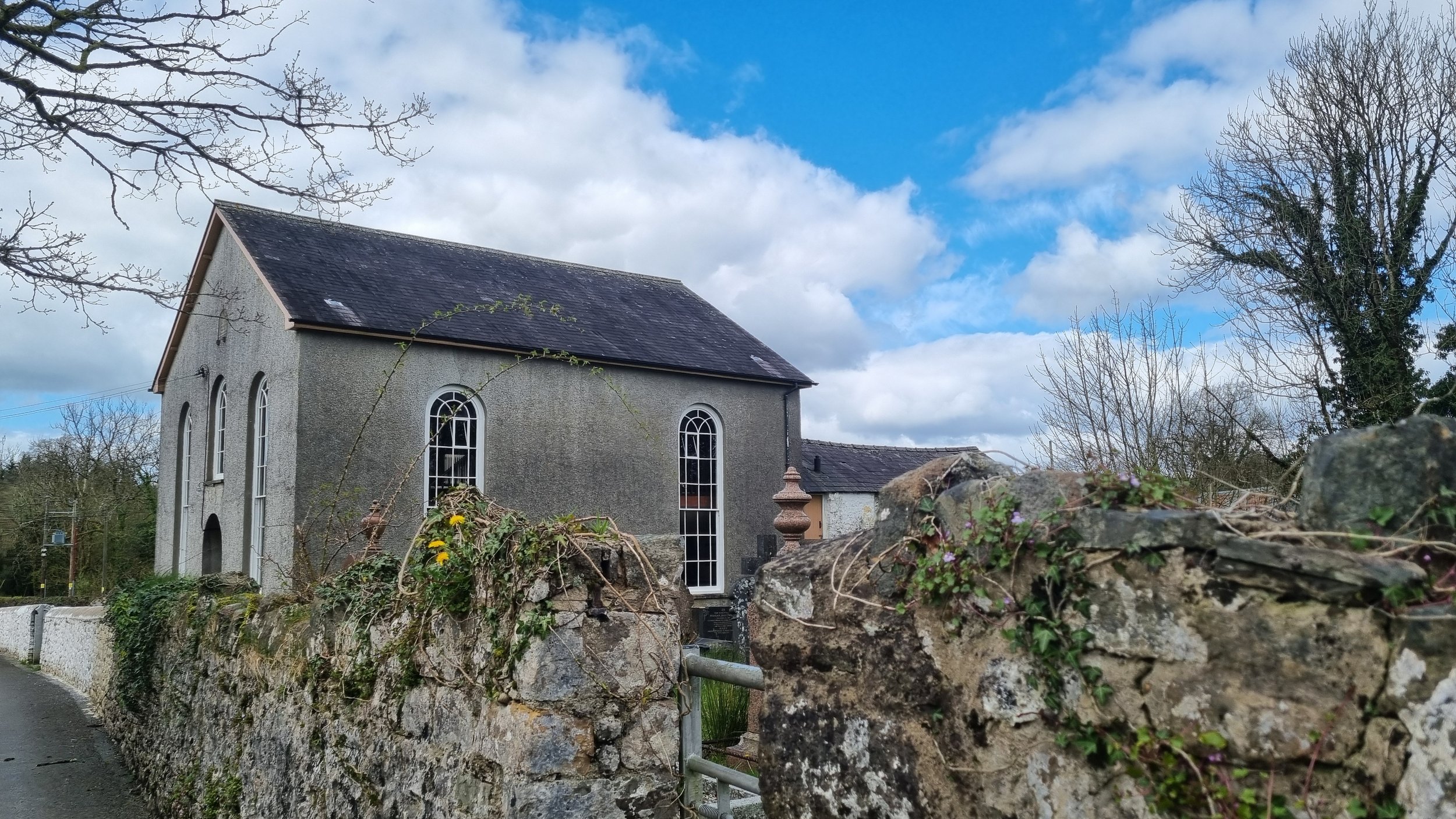
Capel Salem Heolgaled
Salem village today is named after the Independent or Annibynwyr Capel Heolgaled Salem Chapel, founded here in 1817. This was a branch of the Capel Isaac Annibynwr, where a congregation had been established in 1650.
The Chapel stands on a piece of land known as Banc y Bwl, where local people would meet to tell stories and play games. Cockfighting was a popular pursuit organised here.
The first chapel built on this spot was a small building with a thatched roof and just one seat! The present chapel was built in 1862 at a cost of £320. It is listed Grade II.
The Quakers in Salem
During the 17th century a congregation of Quakers began meeting in private houses in Penybanc and New House, near New Inn. New House was disused by 1800.
A number of the Quaker families reputedly emigrated to Pennsylvania in 1713. Let us know if you have more information or are indeed one of these descendants let us know!
Quaker Burial Ground
The laws at the time prevented Nonconformists from burying their dead in the parish cemetery, so they established a graveyard in the village. The graveyard was used from 1698 to 1829 and as such is one of the oldest Quaker burial grounds in South West Wales. It was repaired and a new gate installed in 1870.
At 9 metres square in size, with a total of 14 graves, the cemetery is also one of the smallest in Wales.
The burial ground is listed Grade II, and according to the list description, “burials appear to have taken place fairly regularly, however only two memorials remain within and no trace of headstones were found in recent clearing. A prominent Carmrthenshire Minister from New Inn, Job Thomas, was buried here in 1807.”
Ysgol Salem School

Salem School was established next to the Chapel in 1877 for 94 children. In 1906 62 children were attending. The school closed later in the 20th century.
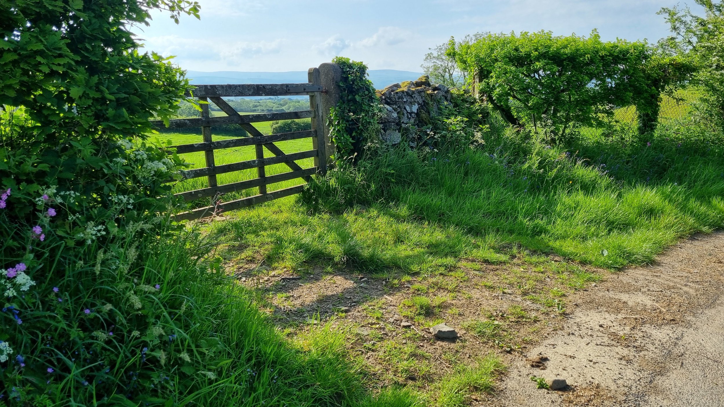
Our Common Land
The open land around Heolgaled was enclosed circa 1816. It is understood that the land we know as the Common, just north of Salem, was given to the community in lieu of common rights, held by cottagers and smallholders. These rights would have included grazing for a cow or a sheep, gleaning after harvest and collecting firewood and wool. A large family could live for several weeks on the grain collected from gleaning and the poor suffered great hardship after losing these rights.
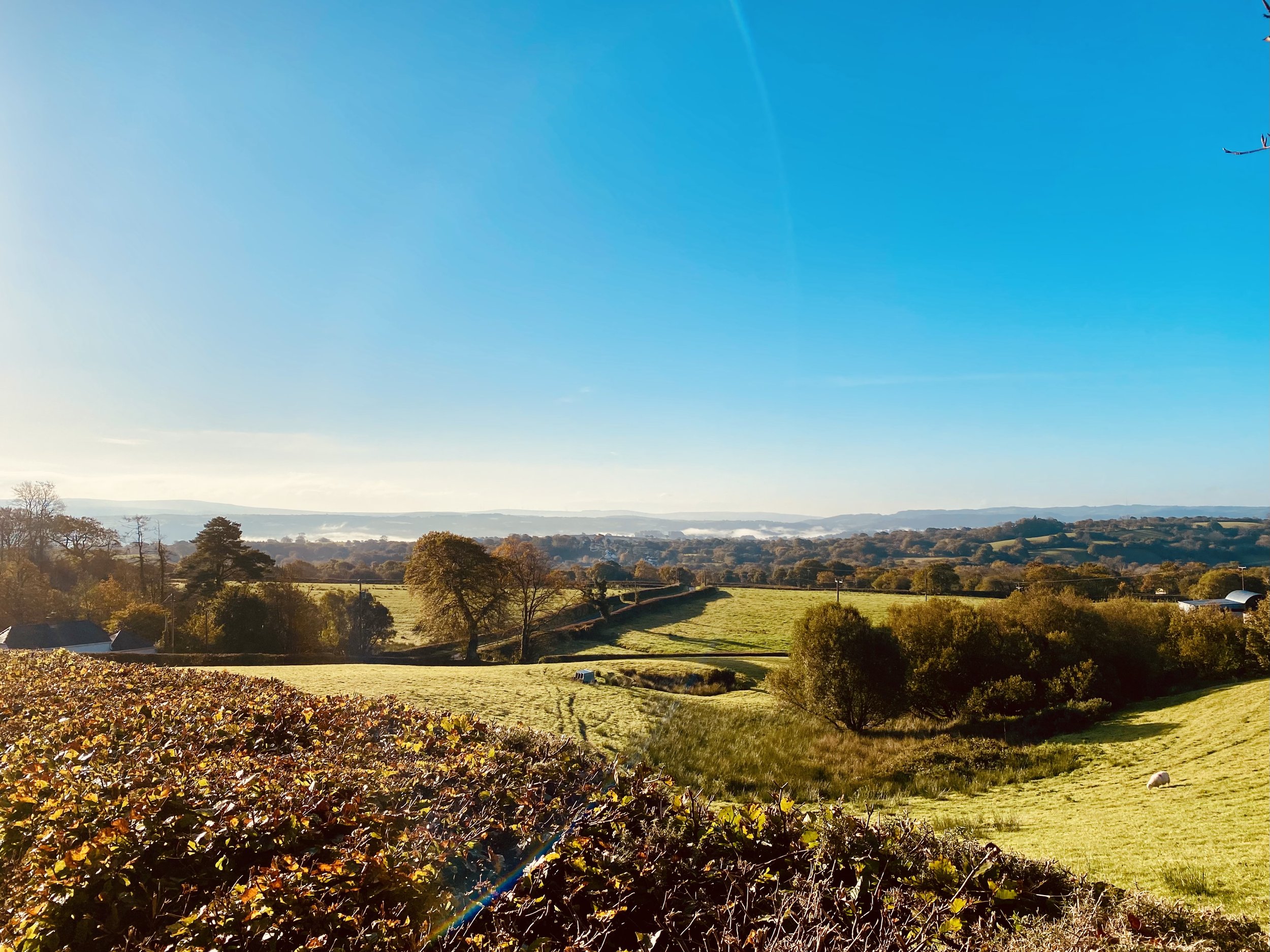
Enclosing the open land also changed the landscape - hedges were built to enclose the now private property. The formal patterns of square and rectangular fields seen on the way into Salem from Cwmdu and Taliaris are typical examples of the consequences of enclosing common land.
Dry Stone Walls
Beautiful Dry Stone walls, increasingly rare, survive to the north of Salem.

Iron Age Origins
High up on the hill to the north of Salem lie our earliest historic remains - an Iron Age Hillfort - known as Maes y Castell.
This is a relatively small ‘bivallare contour’ type of hillfort, with ditches surviving. The view from the top of the hill here is very good - ideal to spot your enemies approaching!
There is a little bit of info on Coflein about it - we’d love to know more it - so get in touch if you can help.

